July 2020
23.7.2020 Section 16
24/07/20 18:25
Finally I managed despite COVID-19 to start today fro the last section of my London LOOP walk which by the way I started way back in June 2013.
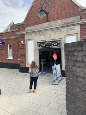
Blue sky and the sun partly hidden behind some clouds I made my way to Harold Wood station
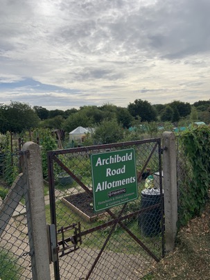
to start the walk which brought me first alongside the Archibald Road Allotments where
several keen gardeners took care of their veggies and stuff.
Heading on I quickly reached the entry to the Harold Wood Park where I was greeted by the sign
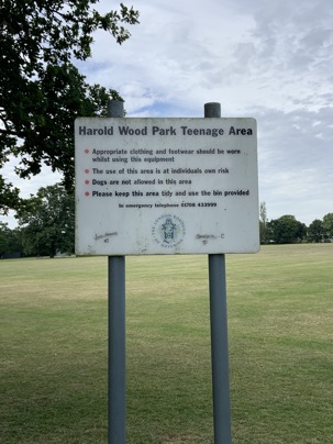
I couldn't find a sign for the "Seniors Play Area " !!
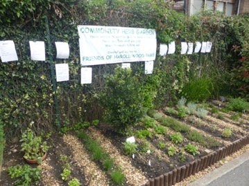 but a well kept community herb garden.
Heading on one reaches the entry to Pages Wood where the path is "decorated" with several animals carved out of wood:
carved out of wood and at the end with the these days obligatory Covid-19 banner:
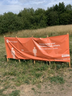 Safety and distancing even here !
Crossing the busy A127 the path "disappears" in thick hedges
 to emerge after a few minutes into lovely meadows
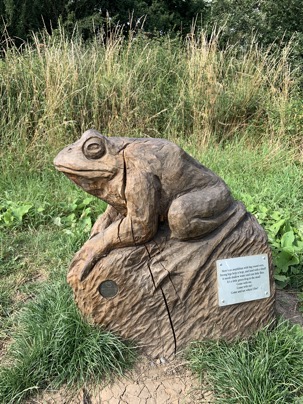
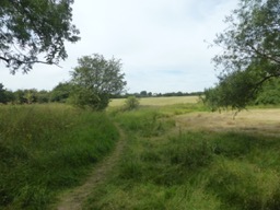 where at the end I was greet by these two fellows

two fellows.
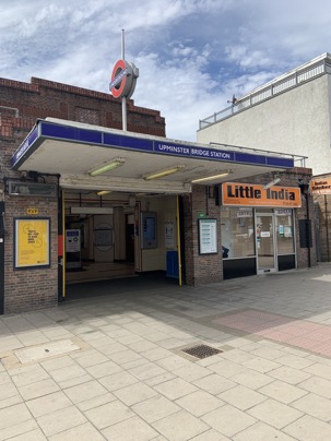
Alongside a road the path reaches Upminster Bridge Tube Station ( NO I didn't get a train home ! )
and almost opposite the station an unfortunately closed pub with the intriguing name "The Windmill"
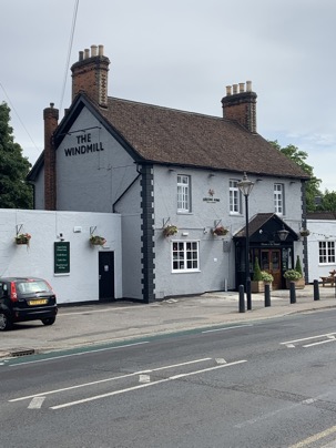
But where does the name come from ?
Have closer look at this picture and see if you can spot the top of the old windmill !
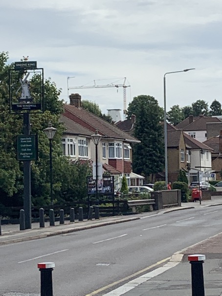 Found it ?
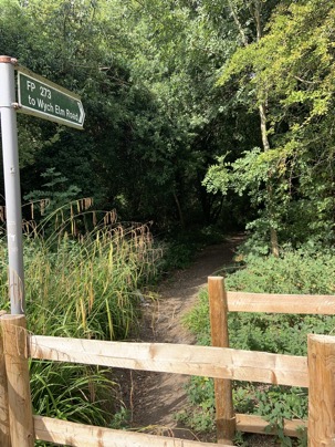
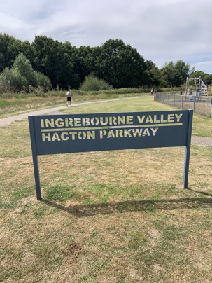
Turning right and down the road the entry two the "Ingrebourne Valley Hacton Parkway" is reached where the path follows the Ingrebourne
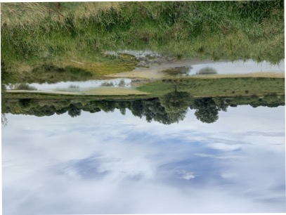
the path leads "The Ingrebourne Valley" Nature reserve with it's little lakes and marshes
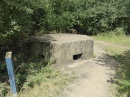
Part of this land used to be an airfield. First flying was here in WW1 when the Royal Flying Corp defended London from the Zeppelin raids.
Later the Royal Air Force took over a larger area and stationed Spitfires which played a major role in the Battle of Britain.
Today's country park was opened in 1980 after massive landfilling and landscaping efforts.
Small parts of the old airfield building in form of pillboxes can still be seen today
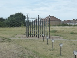
at the other end parts of the old airfield lamps are put up as a memorial of times gone by:
 its also here where the outskirts of Rainham are reached
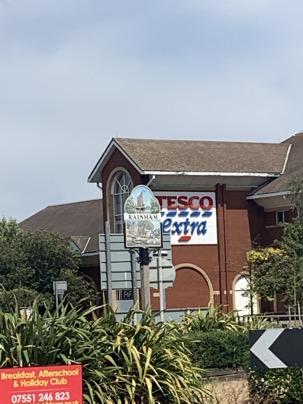 a town which ones was reachable by barges directly from the Thames.
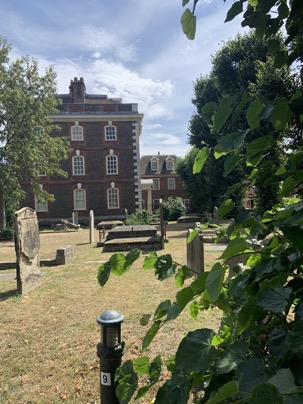
A wealthy sea captain, John Harle, not only owned wharves here but used the profits to have the great Rainham Hall ( managed by the National Trust ) build directly at the church:
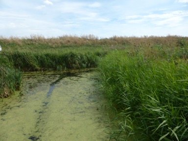
walking through the village the entry to the Rainham Marshes are reached.
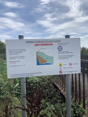
Initially a nice walk that changes very quickly as the path goes alongside a road used by lorries to reach a massive landfill site
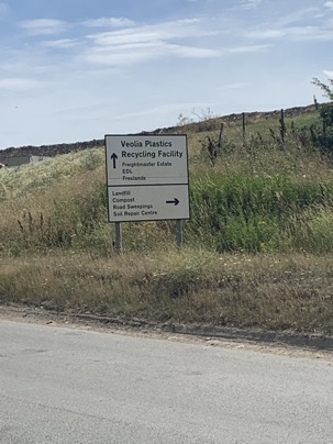
with the site being a future extension to the already existing RSPC Bird reservation, an eldorado for the keen birdwatcher..
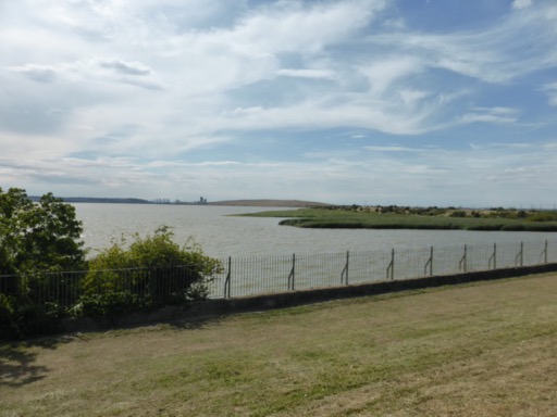
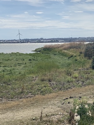
Fortunately this dull path opens up the the great river, the Thames:
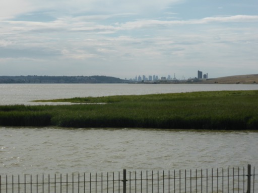
with the Canary Wharf skyline at the horizon.
Can you see the Dartford Bridge at the horizon ?
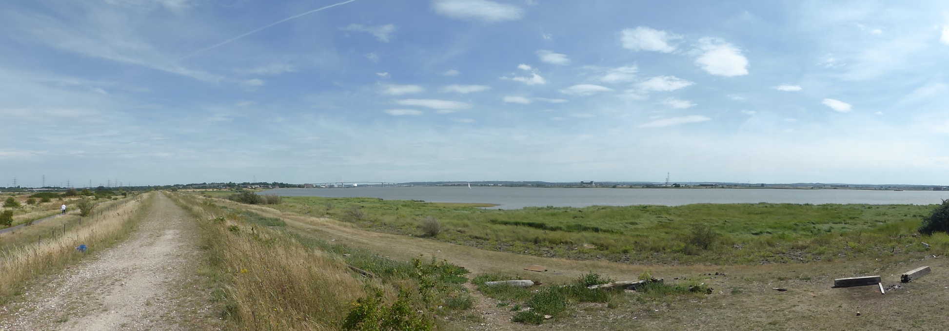
On the other side of the Thames, in Erith
 where I started way back on June 8th, 2013 my LOOP walk which has come now to an
successful end in Purfleet
 about 150 miles later.
A fantastic walk which shows the richness of the London landscape and surprised me with the variety. Very often it was not imaginable that one was still in London.
Some more pictures of this section can be found here and a map with todays waypoints can be found here
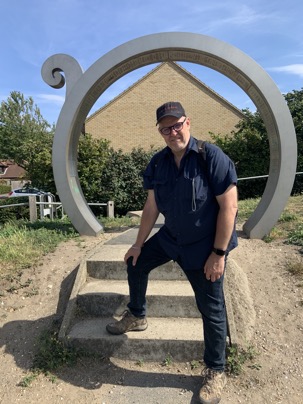
This concludes the 16.section: 13 ¼ miles, 0 miles still to go.
So what is next ?
The Capital Ring, the "London Inner Loop" so to speak. Click here to find out details of this my next walk "around" London.
Blue sky and the sun partly hidden behind some clouds I made my way to Harold Wood station
to start the walk which brought me first alongside the Archibald Road Allotments where
several keen gardeners took care of their veggies and stuff.
Heading on I quickly reached the entry to the Harold Wood Park where I was greeted by the sign
I couldn't find a sign for the "Seniors Play Area " !!
but a well kept community herb garden.Heading on one reaches the entry to Pages Wood where the path is "decorated" with several animals carved out of wood:
carved out of wood and at the end with the these days obligatory Covid-19 banner:
Safety and distancing even here !Crossing the busy A127 the path "disappears" in thick hedges
to emerge after a few minutes into lovely meadows where at the end I was greet by these two fellowstwo fellows.
Alongside a road the path reaches Upminster Bridge Tube Station ( NO I didn't get a train home ! )
and almost opposite the station an unfortunately closed pub with the intriguing name "The Windmill"
But where does the name come from ?
Have closer look at this picture and see if you can spot the top of the old windmill !
Found it ?Turning right and down the road the entry two the "Ingrebourne Valley Hacton Parkway" is reached where the path follows the Ingrebourne
the path leads "The Ingrebourne Valley" Nature reserve with it's little lakes and marshes
Part of this land used to be an airfield. First flying was here in WW1 when the Royal Flying Corp defended London from the Zeppelin raids.
Later the Royal Air Force took over a larger area and stationed Spitfires which played a major role in the Battle of Britain.
Today's country park was opened in 1980 after massive landfilling and landscaping efforts.
Small parts of the old airfield building in form of pillboxes can still be seen today
at the other end parts of the old airfield lamps are put up as a memorial of times gone by:
its also here where the outskirts of Rainham are reached a town which ones was reachable by barges directly from the Thames.A wealthy sea captain, John Harle, not only owned wharves here but used the profits to have the great Rainham Hall ( managed by the National Trust ) build directly at the church:
walking through the village the entry to the Rainham Marshes are reached.
Initially a nice walk that changes very quickly as the path goes alongside a road used by lorries to reach a massive landfill site
with the site being a future extension to the already existing RSPC Bird reservation, an eldorado for the keen birdwatcher..
Fortunately this dull path opens up the the great river, the Thames:
with the Canary Wharf skyline at the horizon.
Can you see the Dartford Bridge at the horizon ?
On the other side of the Thames, in Erith
where I started way back on June 8th, 2013 my LOOP walk which has come now to an successful end in Purfleet
about 150 miles later. A fantastic walk which shows the richness of the London landscape and surprised me with the variety. Very often it was not imaginable that one was still in London.
Some more pictures of this section can be found here and a map with todays waypoints can be found here
This concludes the 16.section: 13 ¼ miles, 0 miles still to go.
So what is next ?
The Capital Ring, the "London Inner Loop" so to speak. Click here to find out details of this my next walk "around" London.