23.7.2020 Section 16
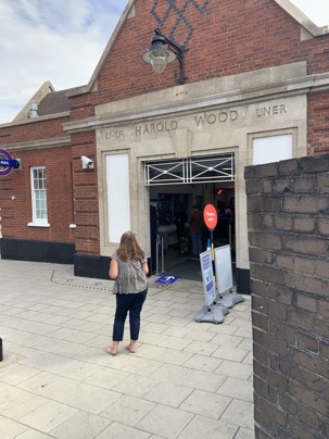
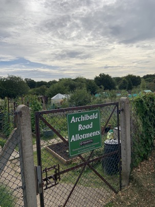
Blue sky and the sun partly hidden behind some clouds I made my way to Harold Wood station
to start the walk which brought me first alongside the Archibald Road Allotments where
several keen gardeners took care of their veggies and stuff.
Heading on I quickly reached the entry to the Harold Wood Park where I was greeted by the sign
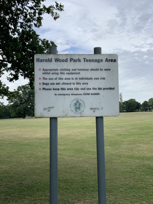
I couldn't find a sign for the "Seniors Play Area " !!
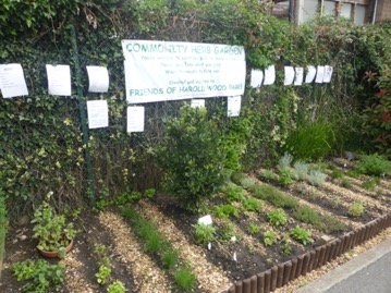 but a well kept community herb garden.
Heading on one reaches the entry to Pages Wood where the path is "decorated" with several animals carved out of wood:
carved out of wood and at the end with the these days obligatory Covid-19 banner:
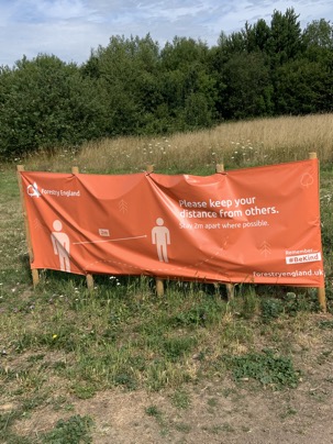 Safety and distancing even here !
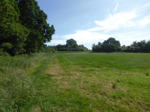
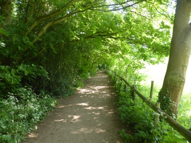
Crossing the busy A127 the path "disappears" in thick hedges
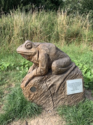
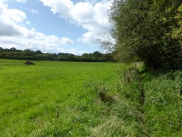
 to emerge after a few minutes into lovely meadows
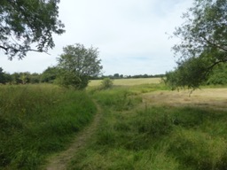 where at the end I was greet by these two fellows
two fellows.
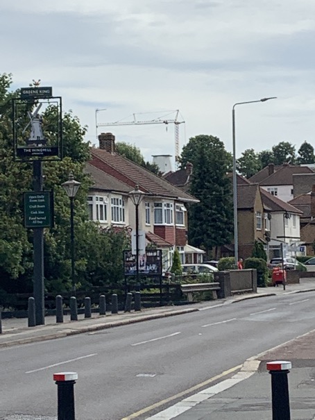
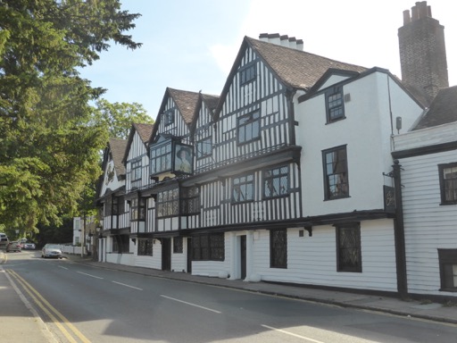
Alongside a road the path reaches Upminster Bridge Tube Station ( NO I didn't get a train home ! )
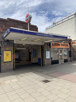
and almost opposite the station an unfortunately closed pub with the intriguing name "The Windmill"
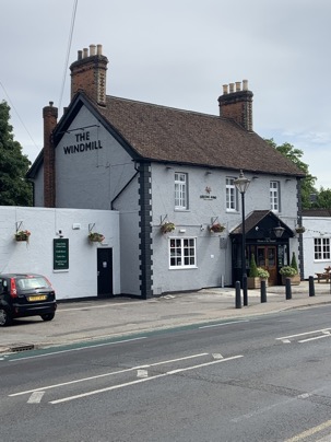
But where does the name come from ?
Have closer look at this picture and see if you can spot the top of the old windmill !
 Found it ?
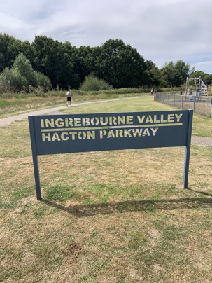
Turning right and down the road the entry two the "Ingrebourne Valley Hacton Parkway" is reached where the path follows the Ingrebourne
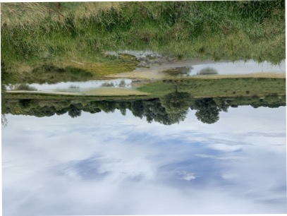
the path leads "The Ingrebourne Valley" Nature reserve with it's little lakes and marshes
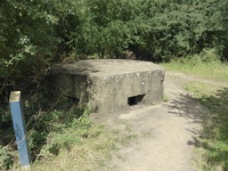
Part of this land used to be an airfield. First flying was here in WW1 when the Royal Flying Corp defended London from the Zeppelin raids.
Later the Royal Air Force took over a larger area and stationed Spitfires which played a major role in the Battle of Britain.
Today's country park was opened in 1980 after massive landfilling and landscaping efforts.
Small parts of the old airfield building in form of pillboxes can still be seen today
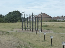
at the other end parts of the old airfield lamps are put up as a memorial of times gone by:
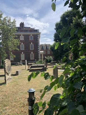
 its also here where the outskirts of Rainham are reached
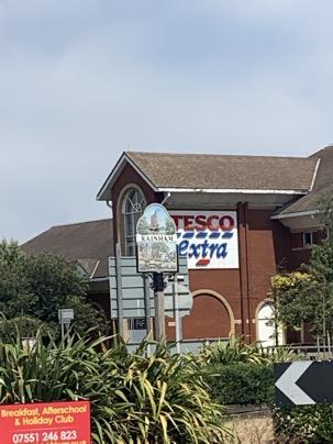 a town which ones was reachable by barges directly from the Thames.
A wealthy sea captain, John Harle, not only owned wharves here but used the profits to have the great Rainham Hall ( managed by the National Trust ) build directly at the church:
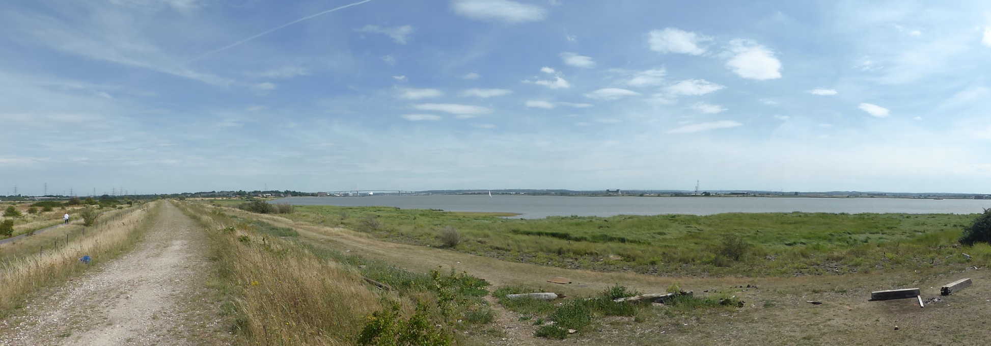
walking through the village the entry to the Rainham Marshes are reached.
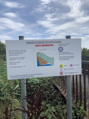
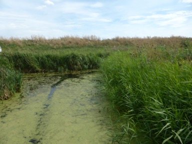
Initially a nice walk that changes very quickly as the path goes alongside a road used by lorries to reach a massive landfill site
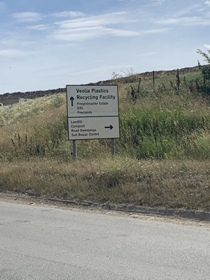
with the site being a future extension to the already existing RSPC Bird reservation, an eldorado for the keen birdwatcher..
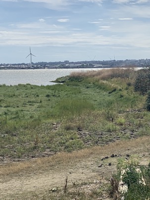
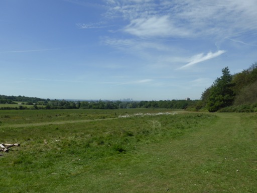
Fortunately this dull path opens up the the great river, the Thames:
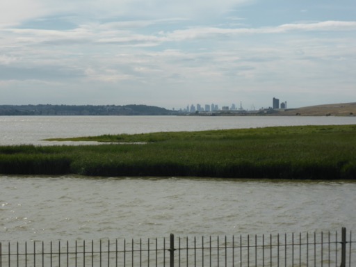
with the Canary Wharf skyline at the horizon.
Can you see the Dartford Bridge at the horizon ?
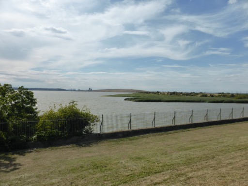
On the other side of the Thames, in Erith
 where I started way back on June 8th, 2013 my LOOP walk which has come now to an
 successful end in Purfleet
 about 150 miles later.
 A fantastic walk which shows the richness of the London landscape and surprised me with the variety. Very often it was not imaginable that one was still in London.
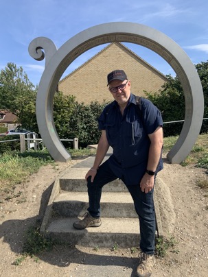
Some more pictures of this section can be found here and a map with todays waypoints can be found here
This concludes the 16.section: 13 ¼ miles, 0 miles still to go.
So what is next ?
The Capital Ring, the "London Inner Loop" so to speak. Click here to find out details of this my next walk "around" London.
1.6.2019 Section 15
What better condition to start one of the two remaining walks of the LL.
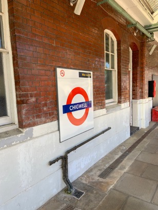
Bright and early I started heading to Chigwell Station.
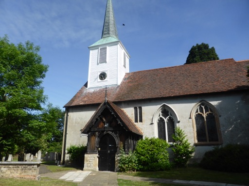
Chigwell is a delightful little village with a one of the rural Essex churches:
weather-boarded belfry topped by a broach spare.
across the church is, conveniently located, the former "Kings Head", an imposing
timber-framed inn, with elaborately carved bargeboards and little diamond-paned windows
peeping out from an assortment of overhanging bays. Unfortunately not an inn anymore but
a restaurant called Sheesh.
Heading on along the High Road of Chigwell to the far end one finally reaches the point
where the Loop path diverts into the "countryside".
One needs to be ( permanently ! ) reminded that one is in London.
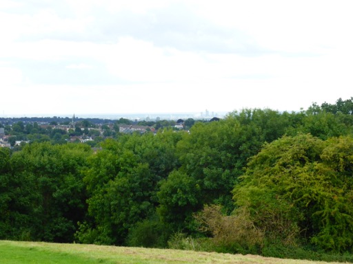
At times fantastic views of London on the horizon
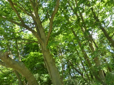
Walking and indulging through this rural bliss of London one reaches Hainault Forest which unfortunately
never found the same local defenders like its neighboring Epping Forest.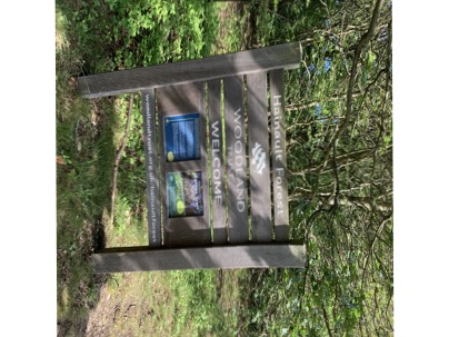
Nevertheless a very pleasant walk with lots of greenery and fantastic views.
Passing through golf courses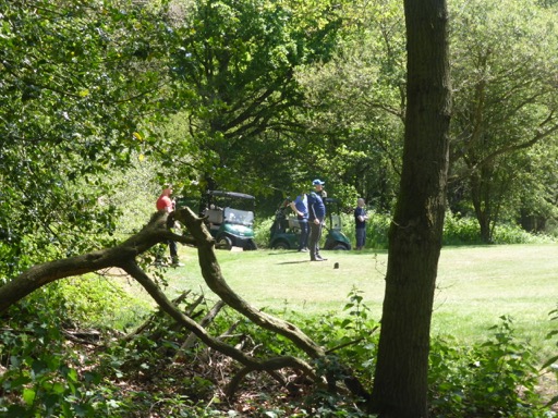
finally the Havering Country Park is reached. where one needs to be prepared for some awesome views:

Giant redwoods ( Sequoias or Wellingtonias ). About 100 of them have been planted here. They are relativ "youngsters"
but will grow much taller, but this plantation is the second largest in England.
Walking along this avenue of giants the little village of Havering-After-Bower is reached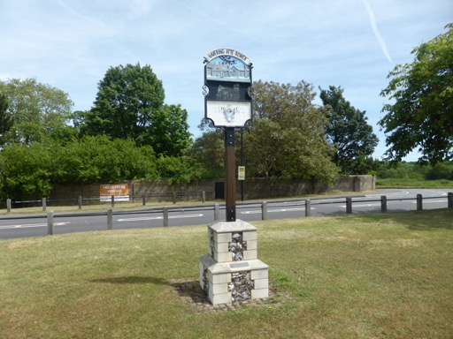
a charming little hilltop village where in medieval times a royal palace sprawled over much of the high ground.
The place was favoured for hunting, but unfortunately nothing of the palace is left.
Leaving this little village one gets again into rural countryside where even deer
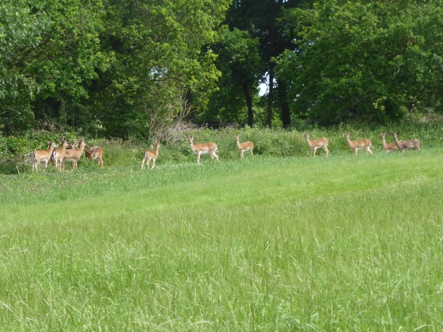
can be seen grazing at broad daylight. Heading on one is one again blessed with fantastic view of the eastern parts of London.
Have a closer look and one can discover the pillars of the Dartford Crossing at the horizon: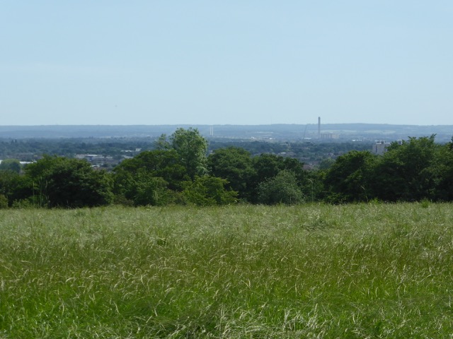
Quickly the outskirts of Harold Hill are reached where the path goes alongside the "Carter's Brook" which
heads towards the Thames.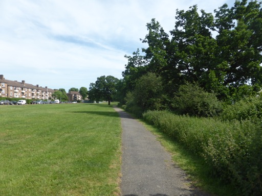
alongside a cricket field
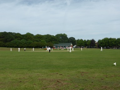
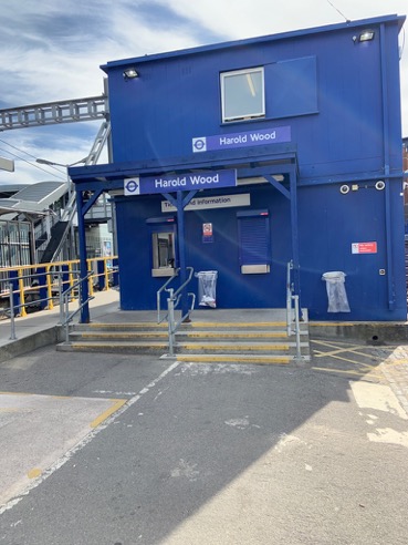
the walk ends at the TfL-Rail Station of Horald Hill from where a convenient train service got to Stratford and then onwards
with DLR and bus home.
So this leaves me with just one more segments of the London Loop.
Some more pictures of this section can be found here and a map with todays waypoints can be found here
This concludes the 15.section: 10 ¾ miles, 13 ¼ miles still to go.
15.9.2018 Section 14
in July and August it was simply far too hot. But now, in September, I have finally managed to walk another section.
Saturday morning, still a bit cloudy, but the weather-forecast is very good. Hence: off I go.
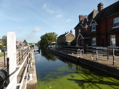
Starting point “Enfield Lock” Station
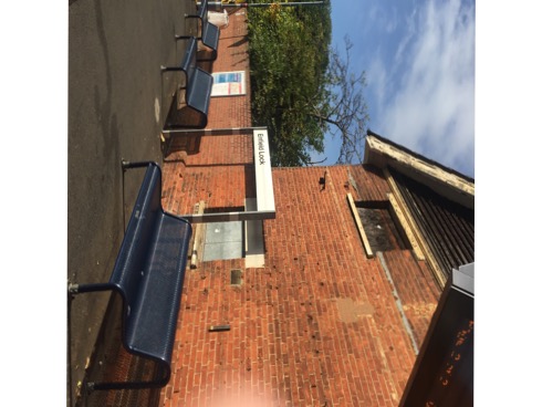
from where after a few minutes walk one reaches the lock
with the remaining buildings of the old Royal Small-arms Factory where the Lee Enfield guns have been produced.
Heading on the path follows the Lee Navigation a wonderful spot of green and river.
Following the river one reaches the Sewardstone Marsh Nature Reserve.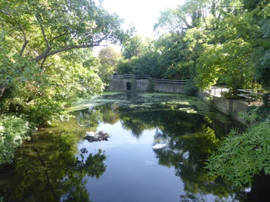
Despite the fact that it was Saturday I met very few walkers enjoying the tranquility.
Slowly the path climbs up-hill where one is greeted with a fantastic view of the King George Reservoir which
supplies about a quarter of London’s water.

Heading on one reaches the outlying parcels of Epping Forest and finally Gilwell Park. This former farm was donated
to the Scout Association in 1919 as a campsite and is now the their HQ.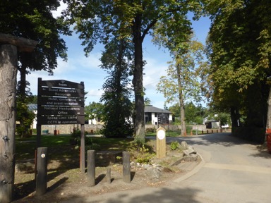
Following the path one reaches Chingford, a small London village, in Epping Forest.
Henry VIII build here in 1543 for his then wife Queen Elizabeth a Hunting Lodge.
Unfortunately the building is currently covered in scaffolding for restoration purposes.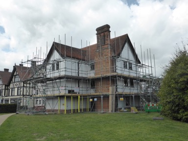
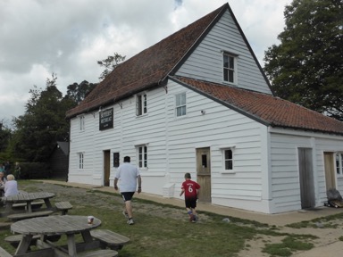
Just next door is is Butler’s Retreat, a Victorian Tea Room dating back to 1891.
Established at the time that the London day trippers could get a refreshment.
Nothing has changed !
Heading on and passing through Epping Forest with it dense forest is also blessed with beautiful vistas of London: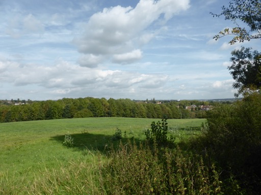
Unfortunately this comes to an end when the M11 needs to be crossed.
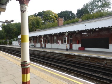
Walking along a busy road the end of todays walk Chigwell Station is reached.
So this leaves me with just two more segments of the London Loop.
Some more pictures of this section can be found here and a map with todays waypoints can be found here
This concludes the 14.section: 8 miles, 23 3/4 miles still to go.
22.5.2018 Section 13
Possible ?
Yes, only 4 more segments are in front of me. So without further ado: let’s start.
Tuesday May 22, 2018 Weather: fantastic, blue sky and sunshine. What else does one need.
The 7:15 at Sidcup Station to London Bridge is on time and by 9:05 I reached Cockfoster Station
( the name by the way could be a corruption of “forester” as the old Royal hunting grounds of
Enfield Chase are around the corner ).
The Loop starts virtually around the corner from Cockfoster Station and begins ( like almost all of the walk ) very green.
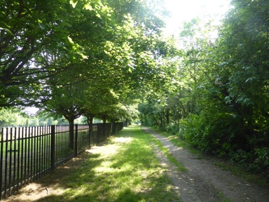
Walking peacefully alongside the local cemetery the entry to the Trent Country Park is quickly reached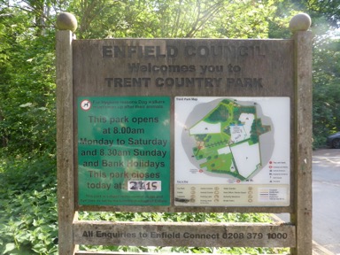
and one is also greeted by one the (in)famous London Loop markers confirming to the walking that one is on the right path.
The country park is a part of the Enfield Chase, an ancient royal hunting ground. Passing through dense woodland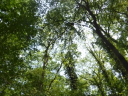
and open fields the path
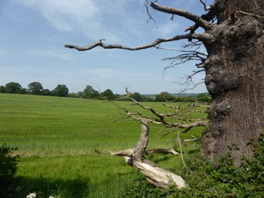
gives splendid views of Enfield Chase and has even some ancient hidden remains of former settlements like Camlet Moat
where only the old moat can still be seen.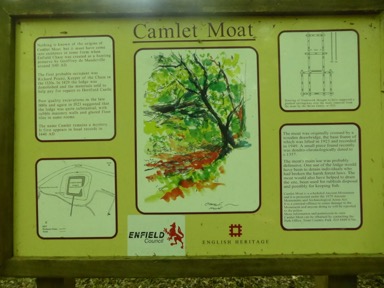
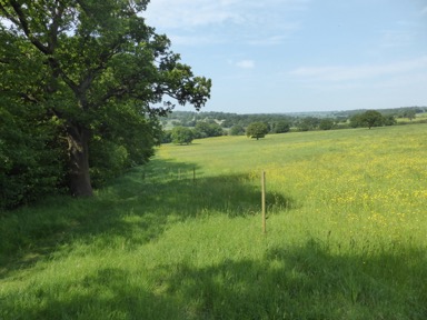
Following the path it goes slowly downhill into the gentle valley of Salmon’s Brook just to climb on the other site giving
the walker a nice view of the valley.
The London Loop Guide Book promises ( at the least in edition I use ) a nice pub, The Rose & Crown, for some refreshments.
That unfortunately is history. The establishment has closed.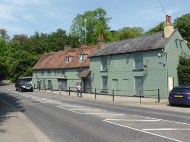
From here on the path goes around some open meadows where cows and horses are peacefully grazing
and the trees are shielding from the sun.
Alongside the fishing ponds of Forty Hall, an once fashionable address in Elizabethan times ( build in the 1630s ),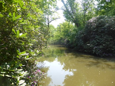
with rhododendrons in bloom the end of this green and peaceful walk is quickly reached.
The rural bliss is gone and the walk is now alongside the Enfield Crematorium with its cemetery provided at least a bit of green.
Through streets aligned with houses one reaches the end of todays walk, Enfield Lock Station. No lock can be seen.
That is, as a peak into the next segments description reveals to me in segment no. 14.
Fortunately Enfield Lock Station has very frequent services into London Liverpool Street.
Some more pictures of this section can be found here and a map with todays waypoints can be found here
This concludes the 13.section: 8 1/2 miles, 46 1/4 miles still to go.
19.8.2017 Section 12
Other commitments, weather etc. etc.
But now I did it, another segment has been done.
Saturday morning, great weather. What else does one need.
After a lengthy tube and train ride Elstree & Borehamwood Station was reached.

Around the station some markers celebrating the former film studios and the stars which performed
here.
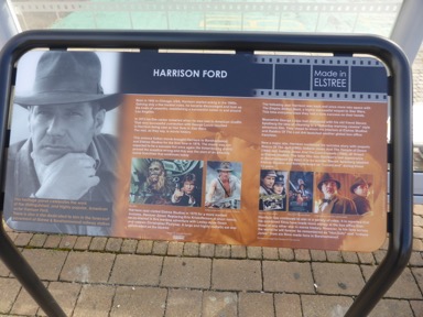
Harrison Ford, Barbara Windsor just to name two of many.
The walk started rather dull on the pedestrian walkway across Elstree. Up the hill the old oak woodlands
of Scratchwood are reached quickly.
Passing through this at times rather dark woodland its country park neighbour of Moat Mount are reached,
a once big hunting estate. Unfortunately the road designers paved the A1 right through, so a rather length detour
to cross the A1 via foot-tunnel is necessary.
Fortunately on the other side the noise of the motorway fades very quickly into the background and a very
pleasant walk for about 4 m on the Greenwalk of the Dollis Valley awaits the walker.
Alongside a little stream, the Dollis Brook, the path leads me into Totteridge Fields, a London Wildlife Trust Nature Reserve. 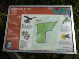
Nature around me at all times the walk leads via several kissing gates to an ancient meadow landscape
with hedgerows on the sides. This is London !
Quickly High Barnet Tube Station is reached, but this is not for me. I head on leaving the station to my left and
going into King George Fields. This piece of land was acquired way back in the early 30th to celebrate the reign
of George V.
Up hill Headley Green is reached. From it’s highest point a great view of London.
Headley Green was also the likely location of the Battle of Barnet on Easter Sunday 1471.
No remains of the battleground can be seen, so one has to believe the story.
Heading on the charming village of Monken Hadley is reached where the famous explorer DavidLivingstone lived
for a short while in 1850 after his return from Africa.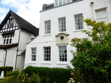
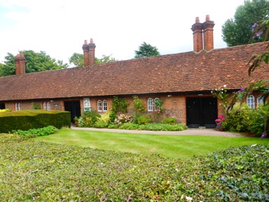
Almost next to “his” house the Wilbraham’s Almshouses for “six decayed housekeepers”.Sir Roger Wilbraham build them in 1612.
Around the corner to Loop path guides me through some white wooden gates into “Enfield Chase” a part of a once vast
Royal hunting ground. Only in 1777 during the reign of George III the grounds where parcelled off but the villagers of
Hadley claimed grazing rights and saved this way about 240 acres for them: the Hadley Common.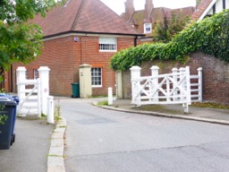
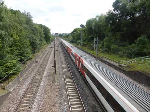
Now path passes through the Hadley Common, only to be “interrupted” by a railway bridge crossing the Kings Cross to Scotland line.
Passing through another set of white gates ( the other end of the common )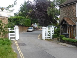
the end of todays walk, Cockfoster Station, is reached.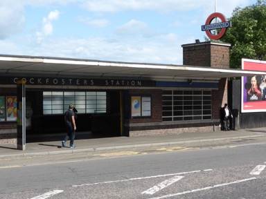
Some more pictures of this section can be found here and a map with todays waypoints can be found here
This concludes the 12.section: 10 1/2 miles, 54 3/4 miles still to go.